The Tahoe-Pyramid Trail: Hike and Bike the Truckee River
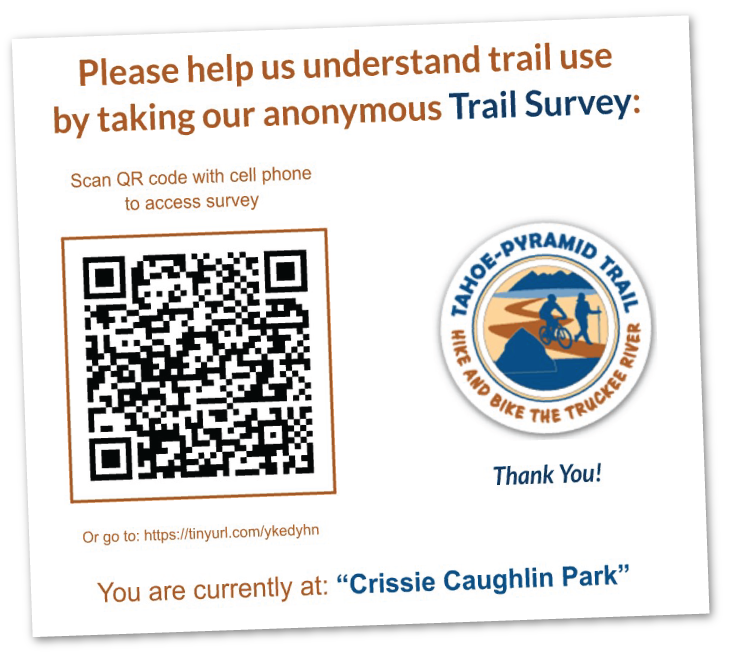
Please Take Our New Trail Survey!
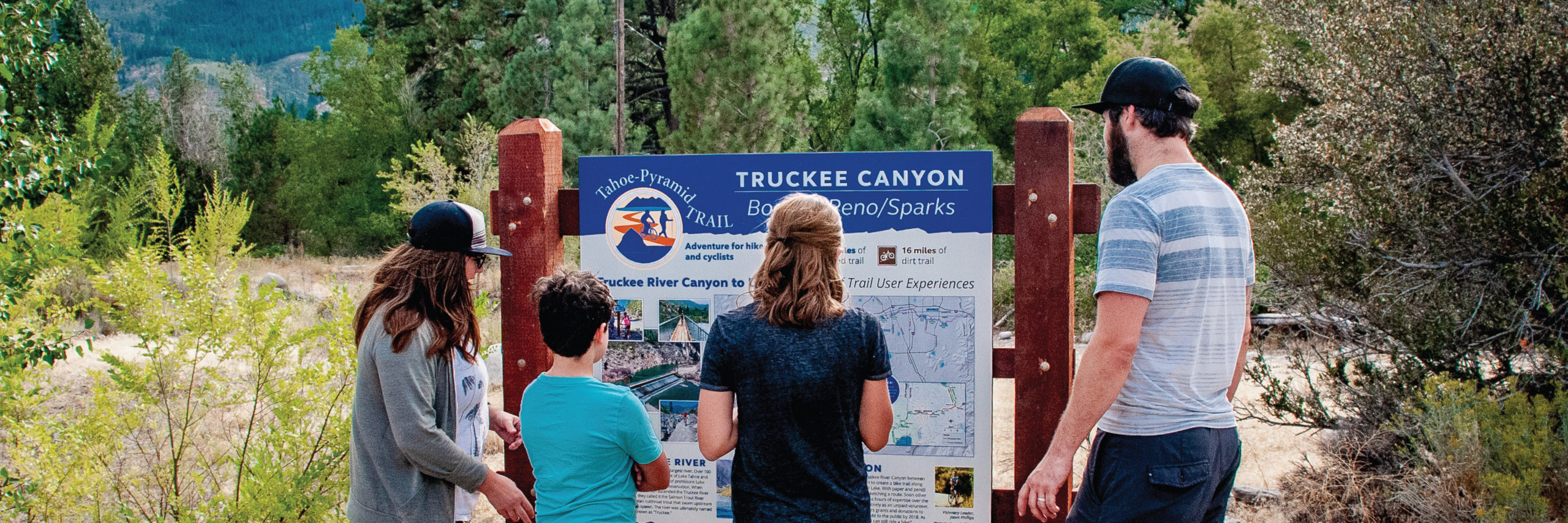
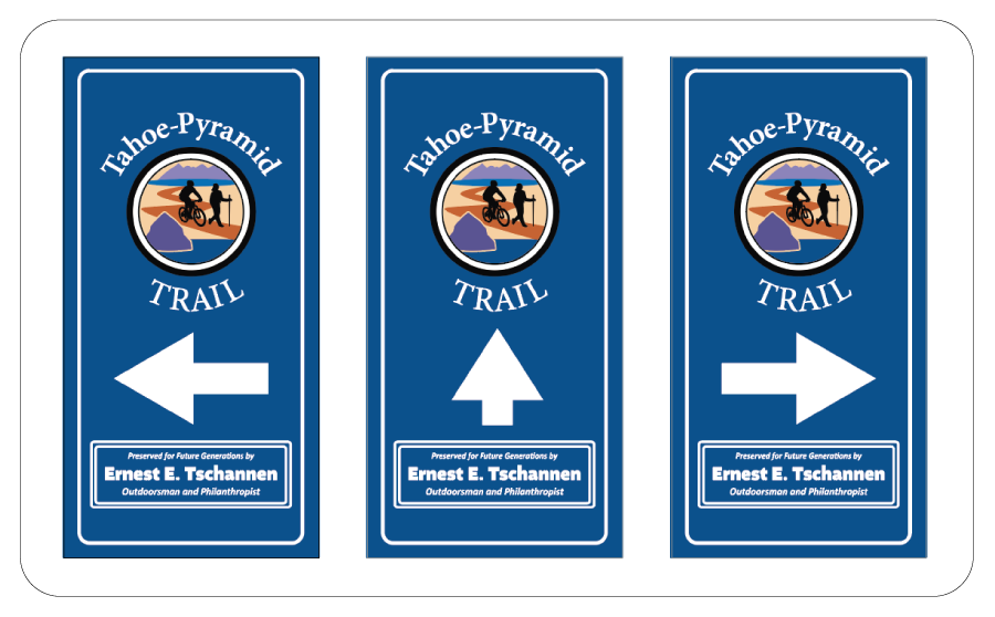
(One of the temporary trail signs shown above)
And a huge THANK YOU to Prof. Ken Nussear and the Geography students at UNR for helping with this project! Your efforts are greatly appreciated!
Why a Trail Survey? To help us better understand trail activities & usage:
- Hiking? Running? Cycling? Wildlife viewing? Fishing? Commuting? Strolling? We want to know!
- Favorite sections of the trail? Please let us know…
- Your access and parking? Miles traveled? That too!
- And more…
The survey is short & anonymous. The results will help us to: A) Obtain more funding (grants and donations), and B) Better support the needs of all trail users!
General Trail Information & Overview (Celebrating 21 Years in 2024!)
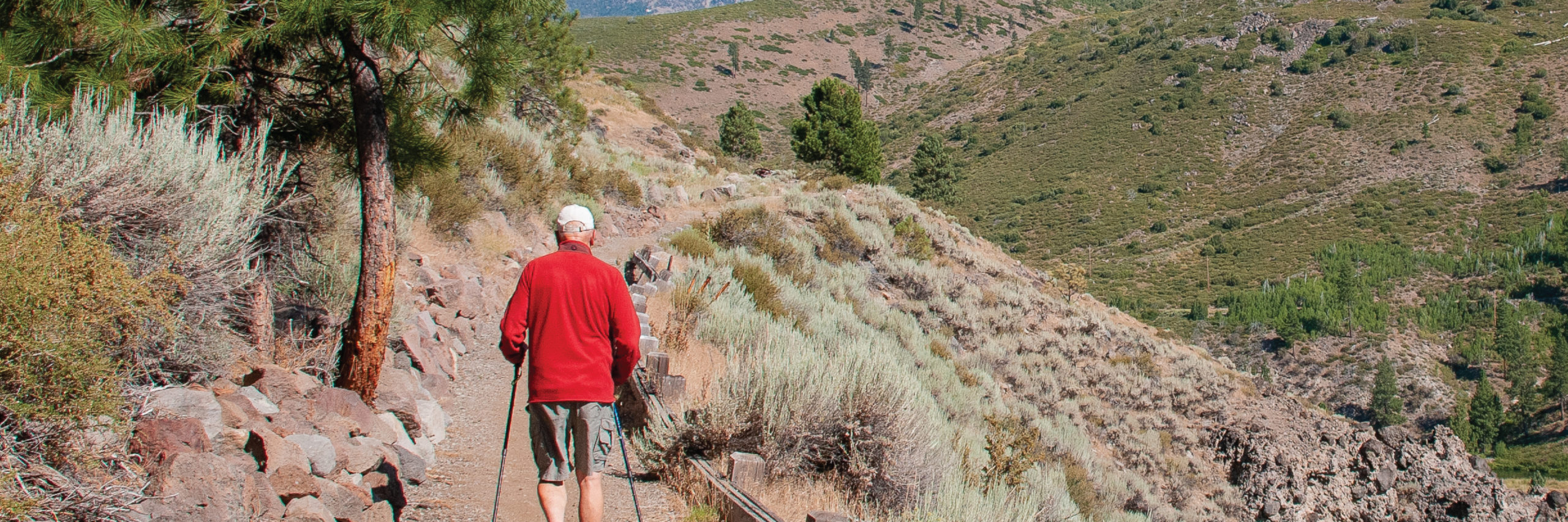
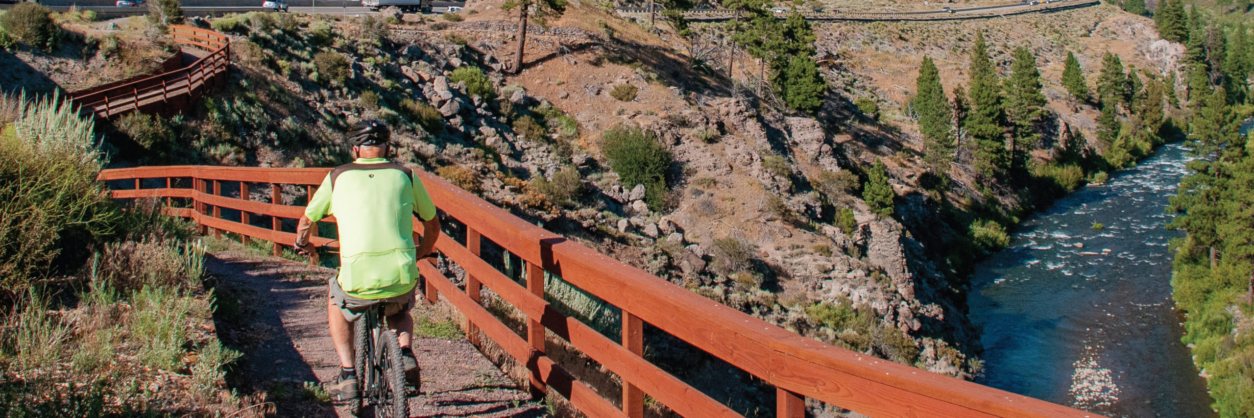
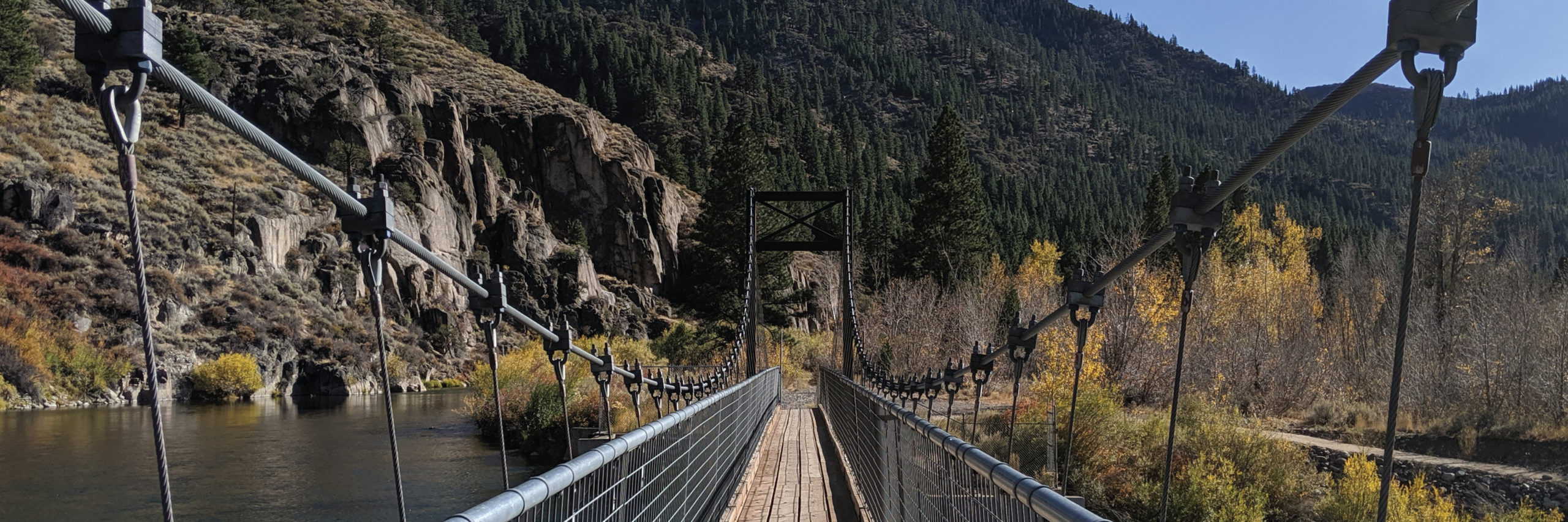
The Tahoe-Pyramid Trail (abbreviated as ‘TPT’) started as an audacious idea that once completed, will result in a trail that follows the entire length of the Truckee River, from its source at the stunning Lake Tahoe (6225’/1897m) to the majestic desert terminus of Pyramid Lake (3796’/1157m).
The trail (now at 81% completion) can be enjoyed by hikers, runners, walkers, or cyclists. Once fully completed the trail will descend nearly 2500′(762m) in elevation over the course of the 114-mile(184km) length, using a combination of existing dirt, paved, and historic roads, bike paths, as well as many newly constructed sections of trail and connecting bridges in both urban and more remote trail areas.
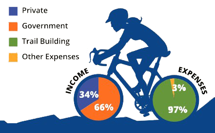
The Tahoe-Pyramid Trail is a 501(c)3 Non-Profit Organization and relies on private donations and grants to fund all trail design and construction, as well as trail repairs & trail signage, all of which are managed by an extensive volunteer support team. Trail access is the result of many collaborations with private landowners, utilities, state & local government agencies, other non-profit organizations, as well as local and regional businesses & community leaders.
Detailed Trail Information can be found on each of the individual Trail Section pages or the Trail Sections Overview Page.
More general information about the trail can be found on our brochure page.
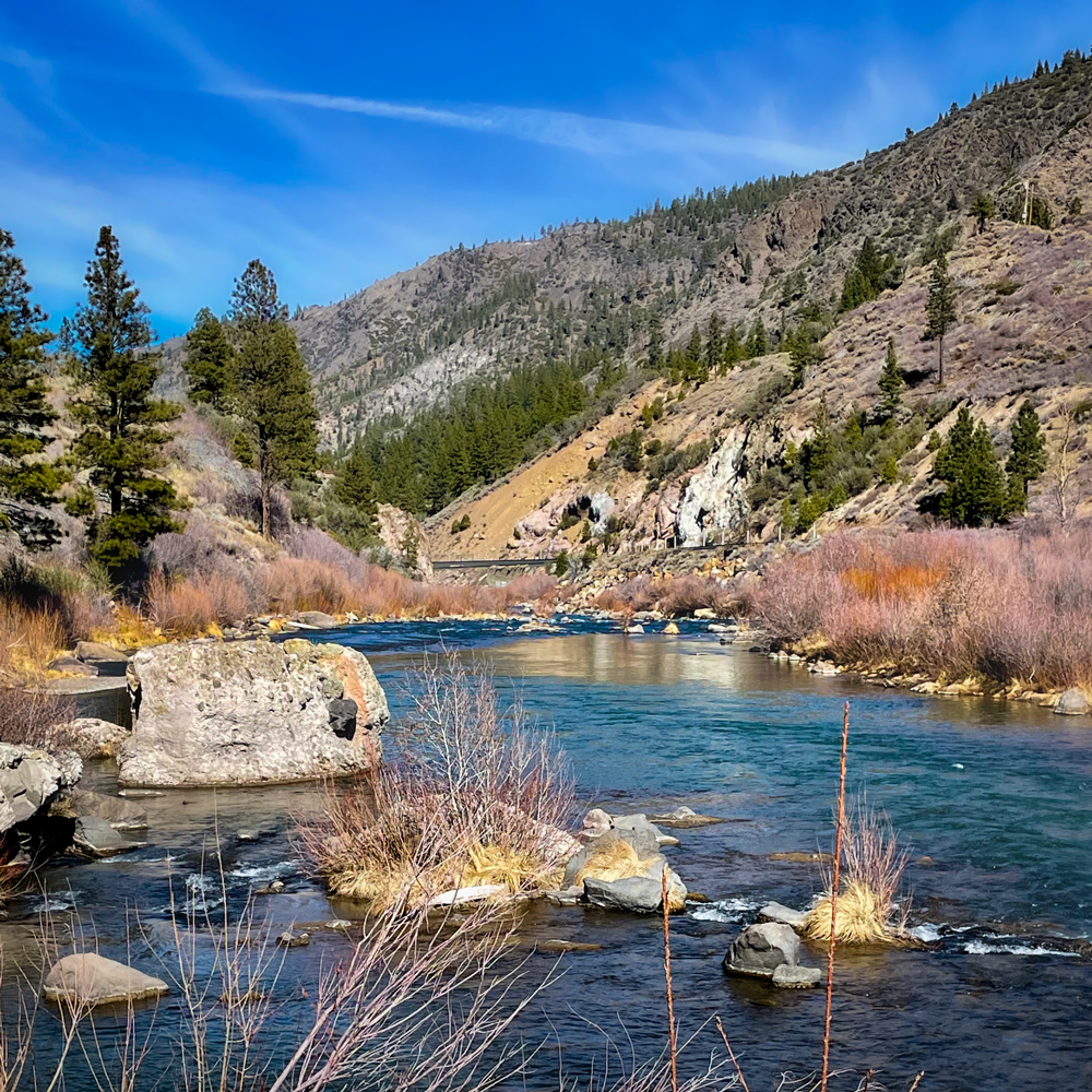
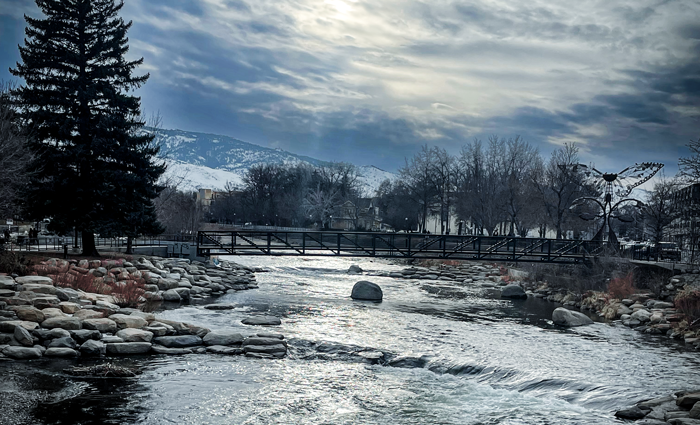
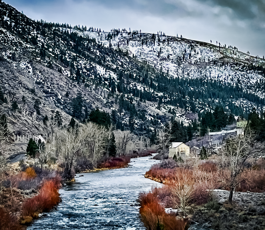
(Slideshow Images courtesy of Van Tucker and Michael Owens)
TPT News & Upcoming Events
2024 TPT ANNUAL MEETING – FREE PUBLIC EVENT – RSVP REQ’D – Thurs, April 25th (Click to Learn More)
Join Us for the 2024 Tahoe-Pyramid Trail Annual Meeting!
Connect with fellow outdoor enthusiasts and get the latest updates on the Tahoe-Pyramid Trail!
This informative and social event is your chance to:
- Meet the TPT Leadership Team: Mingle with our Board members, Advisors, and our new Executive Director and Administrative Assistant.
- Discover Trail Progress & Plans: Learn about exciting milestones achieved and upcoming projects for the Tahoe-Pyramid Trail.
- Get Involved and Stay Informed: Hear about future events and volunteer opportunities.
Don’t miss this opportunity to connect with your local outdoor community!
Event Details:
- Date: Thursday, April 25, 2024
- Time: 6:00 pm to 8:00 pm
- Location: McKinley Arts Center, 925 Riverside Dr, Reno, NV
Additional Notes:
- Light refreshments will be served.
Save The Date!

CALIFORNIA TRAILS & GREENWAYS 2024 (3-DAY EVENT) – April 30 thru May 2, 2024 (Click to Learn More)
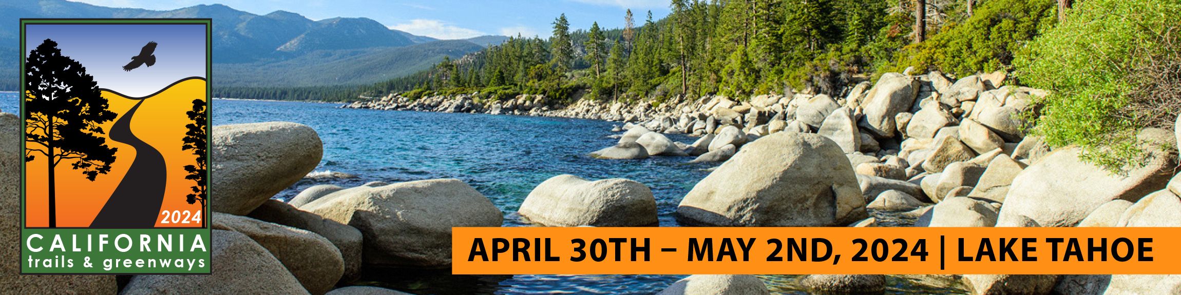
Registration is now open for this 3-day event
held at the:
Everline Resort & Spa in Olympic Valley (near Lake Tahoe) From April 30 thru May 2, 2024
Educational sessions including trail-building tools, technology, and sustainability are offered throughout the conference.
Continuing Education Units are available.
We hope to see our trail community members there.
READ THE MARCH 2024 TPT NEWSLETTER – (click for summary and links to read online)
Read the March 2024 Newsletter here > (opens in new tab)
Topics:
- A lovely free online Nevada Trail Resource!
- A new board member
- Why is the Truckee River so low?
- TPT Social Event
- California Trails & Greenways 2024 event
Want to receive the TPT Newsletter via email? Sign up with our contact form >
READ THE FEBRUARY 2024 TPT NEWSLETTER – (click for summary and links to read online)
Read the February 2024 Newsletter here > (opens in new tab)
Topics:
- “American Heart Month” and hiking the trail with a partner (or canine partner)
- Two New TPT Board Members
- The Reno Leprechaun Race
- Reno hosts the Banff Film Festival
Want to receive the TPT Newsletter via email? Sign up with our contact form >
READ THE JANUARY 2024 TPT NEWSLETTER – (click for summary and links to read online)
Read the January 2024 Newsletter here > (opens in new tab)
Topics:
- Trail Tracks “New Year Resolution”
- Memorial Bench for Mike Traynor (former TPT Board Member)
- Honoring Jim Kidder (long-time TPT Board Member and advocate)
- Thanks to all our 4th Quarter donors! You Are Amazing!
Want to receive the TPT Newsletter via email? Sign up with our contact form >
Current Active Trail Alerts
CAUTION: TRAIL OBSTACLES / SAFETY ISSUE(S) DUE TO TRAIL VANDALISM AS OF FEB 2024 – (click for more info)
SAFETY ISSUE at Fleish Bridge
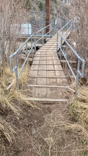
We were recently notified that a person stretched an unauthorized small-diameter low-to-the-ground cable between two lower railing segments above the wooden riser at Fleish Bridge. This resulted in two reported accidents due to this situation. 1) A cyclist was riding through the railings, hit the wire, fell, and sustained injuries, and 2) a hiker tripped on the cable and tumbled to the ground.
The cable has been located and removed. No additional hazards were found in the area.
Our trails are for everyone’s safe enjoyment. If you see anything that has been tampered with and/or presents a dangerous situation, if possible, please move/remove the obstacle, and then report your incident to us. Here is the link to use and the phone number to call:
- Report Trail Problems >
- 775-825-9868
- If the situation is an emergency, do not hesitate to call 911
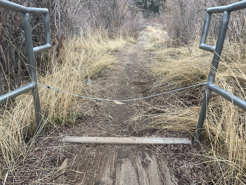
Below is a photo from the East end of the bridge at Fleish Dam crossing that shows the “cable across the trail”
Please exercise caution when hiking, running, or cycling in this area.
POSSIBLE (INTERMITTENT?) SIREN REACTIVATION IN HIRSCHDALE – EFFECTIVE JAN 2024 – (click for more info)
At least 1 (and possibly as many as 3) UNWELCOME SIREN ALARM(s) on Hirschdale Road have been reported as REACTIVATED by some trail users violating Nevada County orders. The most recent report of activation was from the end of January 2024 and we are continuing to look at the options to mitigate this issue. Nevada County officials have been contacted who are addressing this issue.
Trail Users have the right to pass. Please respect the private property and stay on the old roadbed in this area. If you encounter any harassment or sirens in the area, please report this to us via our Trail Reporting Form.
Several new TPT route signs have been installed in the area that will denote new parking areas, a vehicle turnaround spot, and numerous large route signs, all approved by Nevada County.
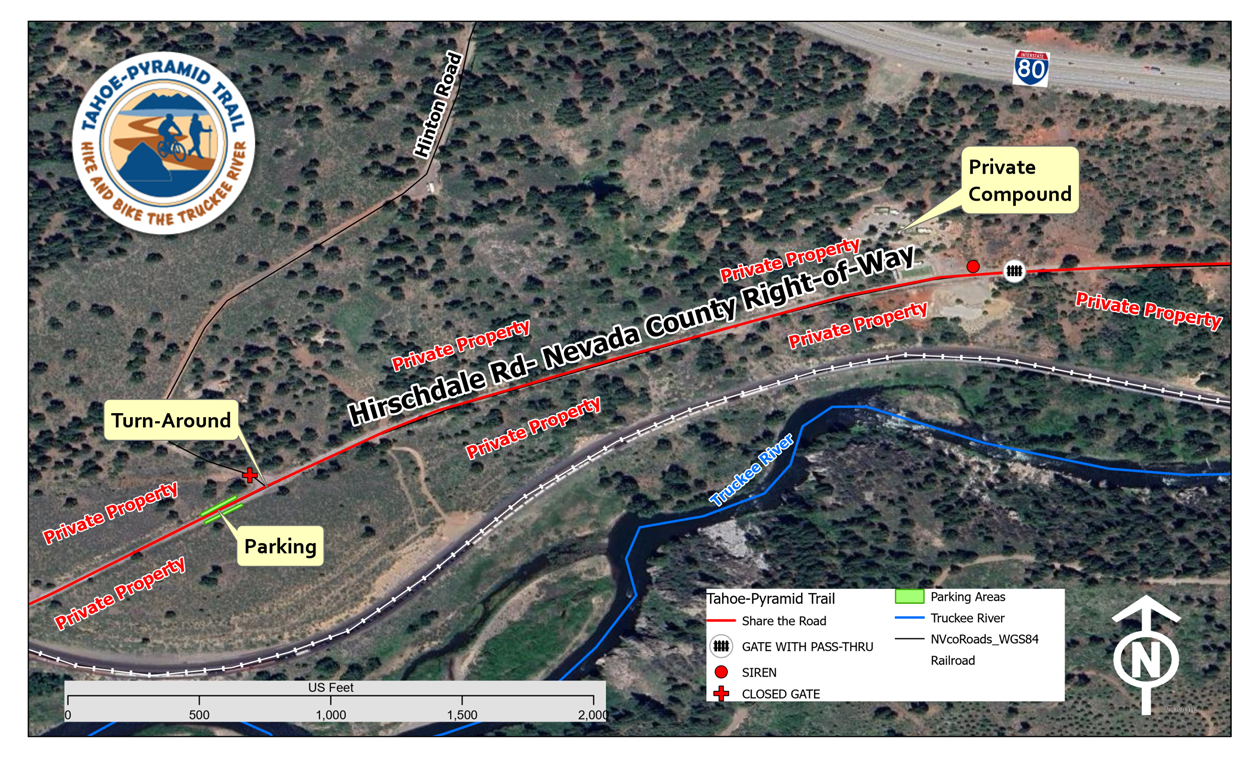
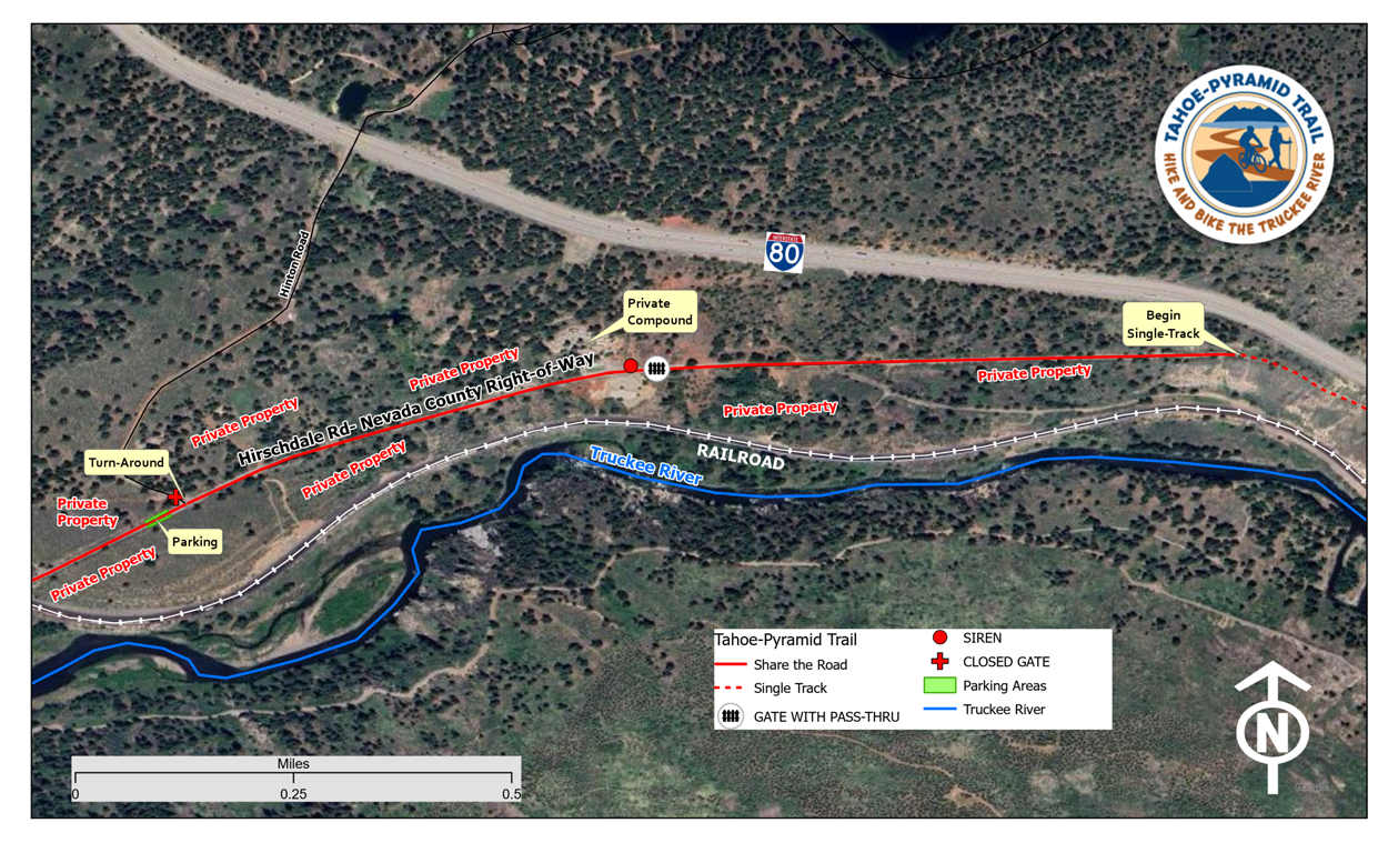
HIRSCHDALE PARKING UPDATE (click for more info)
Hirschdale Parking – Current parking in Hirschdale is limited to “street parking” on the west side of the old Hirschdale/Hwy 40 one-lane bridge. Due to the narrow roads in the area, the best options for parking are in the general area of the Hwy 80 / Hirschdale Exit. Starting your trail journey from this area (for runners, hikers, or cyclists) will add about 1 or 2 miles, depending on your parking location, before you enter the off-pavement section of the trail at the east end of Hirschdale Road.
Cyclists: As a courtesy to runners and hikers, please park near the I-80 interchange so that hikers/runners can have closer street parking options along E. Hirschdale Road.
Tahoe-Pyramid Trail Maps:
Find detailed trail maps, including PDFs, GPX files, RideWithGPS, and Google Maps, as well as trail photos and additional trail section information on each of the Trail Section Pages linked below:
View/Download the Current Tahoe-Pyramid Trail Overview Map (PDF)
Interactive Tahoe-Pyramid Trail Map:
Hover and Click on the individual trail section pages or simply hover to read the trail section summary or trail conditions:
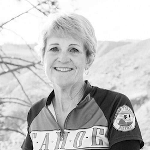
Meet Tahoe-Pyramid Trail’s New Executive Director, Mark Cameron!
Meet Mark, our new Tahoe-Pyramid Trail Executive Director! Be sure to read the interview between Mark and current TPT Board President Mary Beth Roselli.
Please join us in extending a very warm welcome to Mark as he leads us on the next phase of the TPT journey. We are absolutely thrilled to have him on board and know his expertise will undoubtedly contribute to the continued success of the Tahoe-Pyramid Trail. (Read More >)
Read the Fantastic New Article hailing the Tahoe-Pyramid Trail as
“Tahoe’s best early-season hiking trail” by Suzie Dundas of SFGATE.
The article was posted on May 10, 2023, and can be read in its entirety here: SFgate.com TPT Article >
Thank you Suzie D. for the fun write-up and photos. It’s a great read! (see other articles by Suzie who is SFGATE’s Tahoe-based remote editor, covering stories from the Tahoe region and surrounding Sierra Nevada >)
Tahoe-Pyramid Trail – Distances Between Well-Known Trail Landmarks
The PDF Viewer below allows you to zoom in or download the TPT Mileage Chart.
TPT-MileageTable-Branded-v3-NewLogoAug2023Stay Informed and Connected
How to Find And Stay On the Tahoe-Pyramid Trail:
Learn about our “Trail Tools” which include:
On-The-Trail directional signs, informational trail kiosks, and various digital maps
(PDFs, GPX files, RideWithGPS tracks, and Google Maps). Learn More >
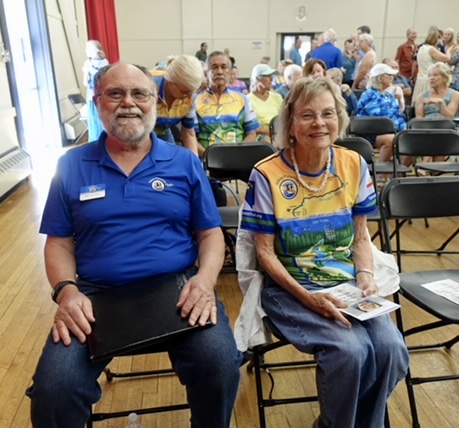
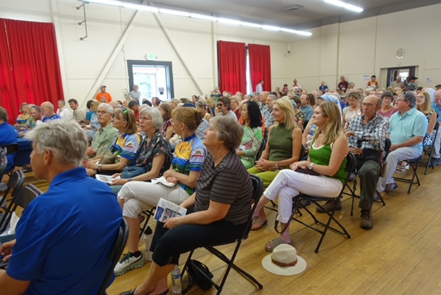
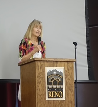
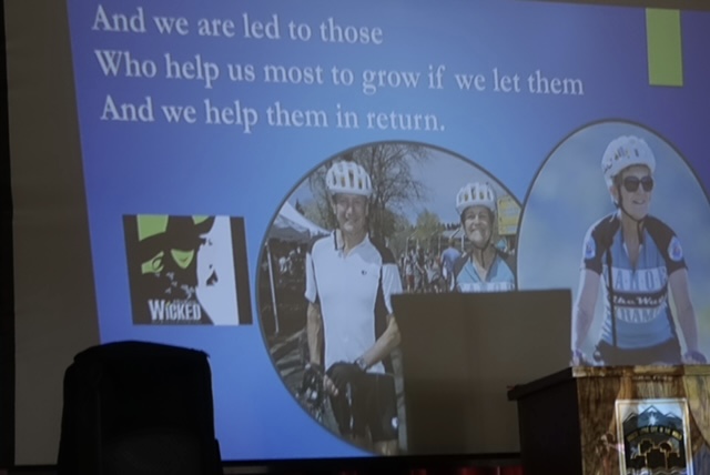
THANK YOU Everyone for Helping Us
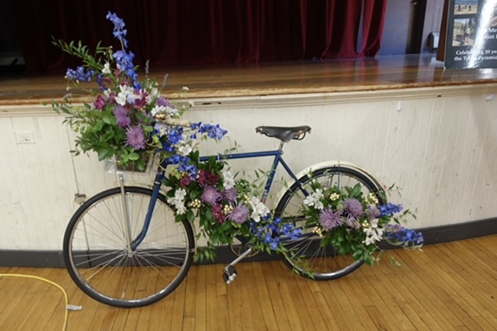
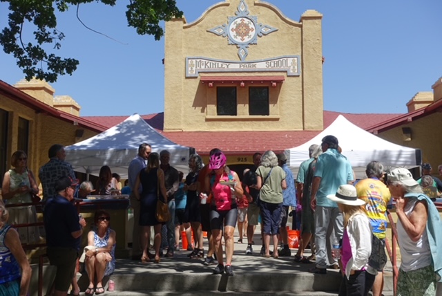
Celebrate Janet’s Amazing Life!
From Mary Beth Roselli, TPT Board President
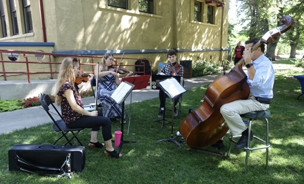
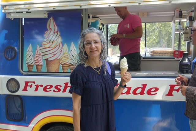
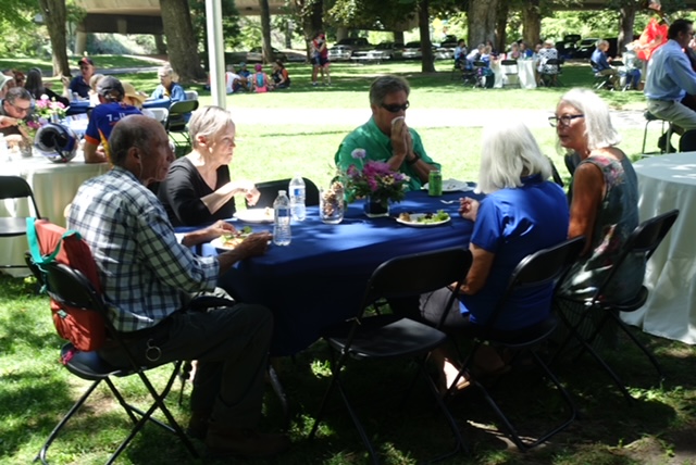
On August 5th, we celebrated and shared stories of how we met Janet or fond memories that she was a part of.
We ate well, thanks o Yoshi’s, and enjoyed one of Janet’s favorite foods, ice cream, thanks to Super Swirl!
Mark Kimbrough was the emcee and several other good friends shared with us what Janet meant to them.
We are pretty sure everyone learned something about Janet that they never known had before. A big “Thank You” to Colleen, Ryrie, Mark, and Bill! Each of you shared something unique and wonderful about Janet’s life and passions. She was blessed with such great friends!
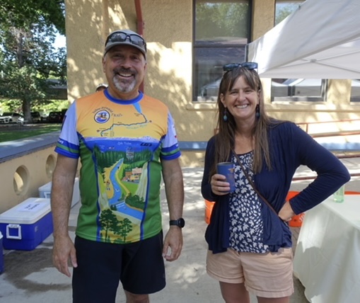
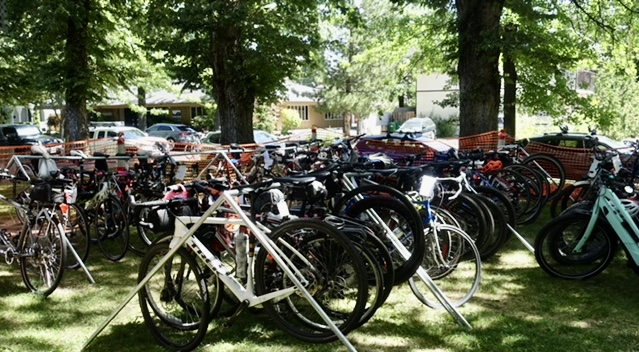
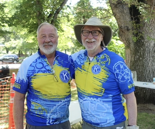
Big Gratitude for the bike corral set up and staffed by the Kiwanis… it was full to capacity and maybe even a bit over that. The Kiwanis team was there to honor Janet and her amazing achievements and kindly donated their time and staff… and judging from all the bike activity, we kept them quite busy!!! So a Heartfelt Thank You to Ellen and Roger and their team of amazing and enthusiastic helpers!
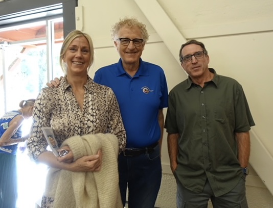
A big shout out too to all the volunteers that helped set up and take down all the tables, chairs, canopies, and everything else that needed packing and unpacking, hauling, and even tidying up! You guys did an amazing job. JoAnne and Gwen, thank you for the hours you two put in before the event. Also, TMWA’s Sonia Folsom anticipated our needs every step of the way and was there. Thank you from the bottom of my heart to all who helped, attended, and celebrated Janet’s amazing life.
Photos provided by Bob Harvey.
It is with deep sorrow that we announce the passing of Janet Phillips, founder, and visionary of the Tahoe-Pyramid Trail.
Read the Full Press Release
From the Tahoe-Pyramid Trail Board of Directors >
Watch the Channel 2 segment “Someone to Know”
which is a lovely tribute to Janet >
Additional information about ways you can honor Janet’s memory
will be posted this summer (2023).
